Here In Time
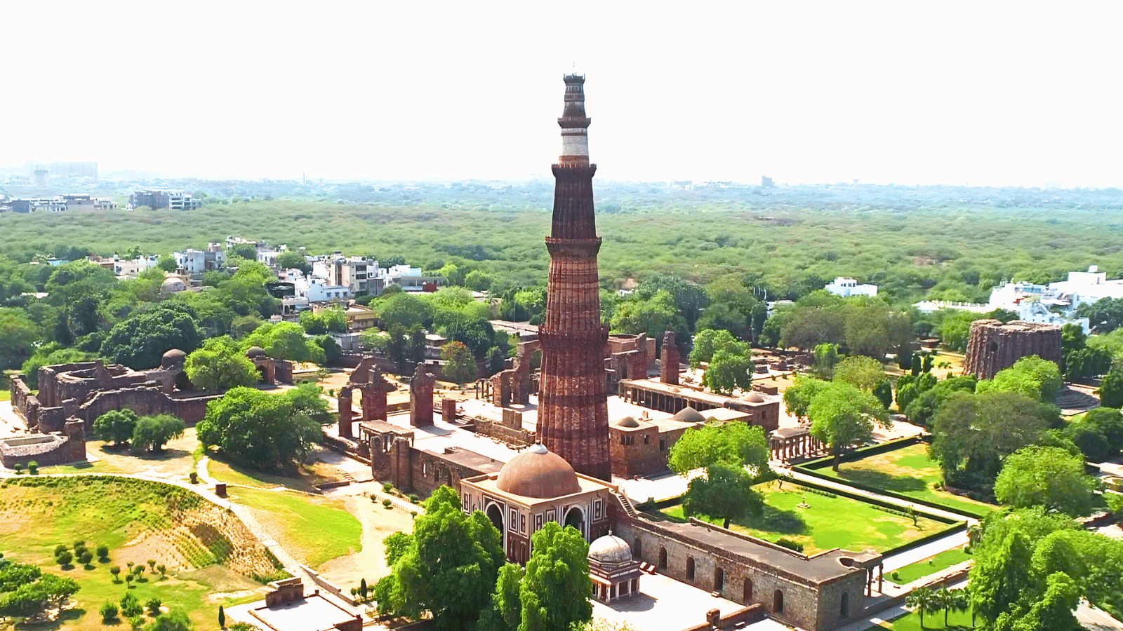
Qutub Minar
A location-based AR treasure hunt through the Qutub Minar complex, where each hint leads you to a spot, and each spot unlocks a hidden chapter of the site's history.
The second edition of the Here In Time series, conceived and directed by Akshita Mehta. I joined as interaction designer and developer. Selected for funding by the British Council and Prince Claus Fund through their 'Contemporary Take: Beyond Cultural Heritage' open call.
Here In Time
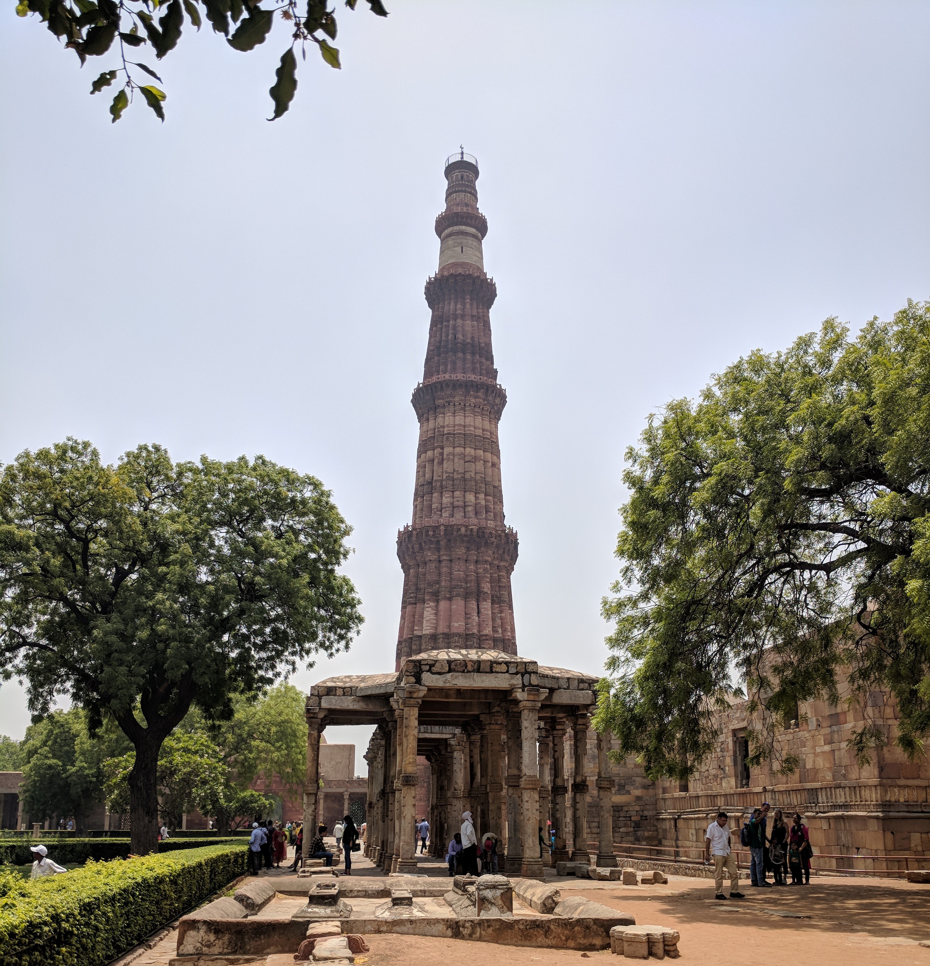
The Qutub Minar complex is a 27-acre open-air heritage site: a 72-metre minaret, ruined colonnades, the iron pillar, and layers of architectural history spanning multiple dynasties. Any experience designed for it had to function outdoors, in changing light, on uneven ground, surrounded by crowds, on a phone a general visitor already had in their pocket.
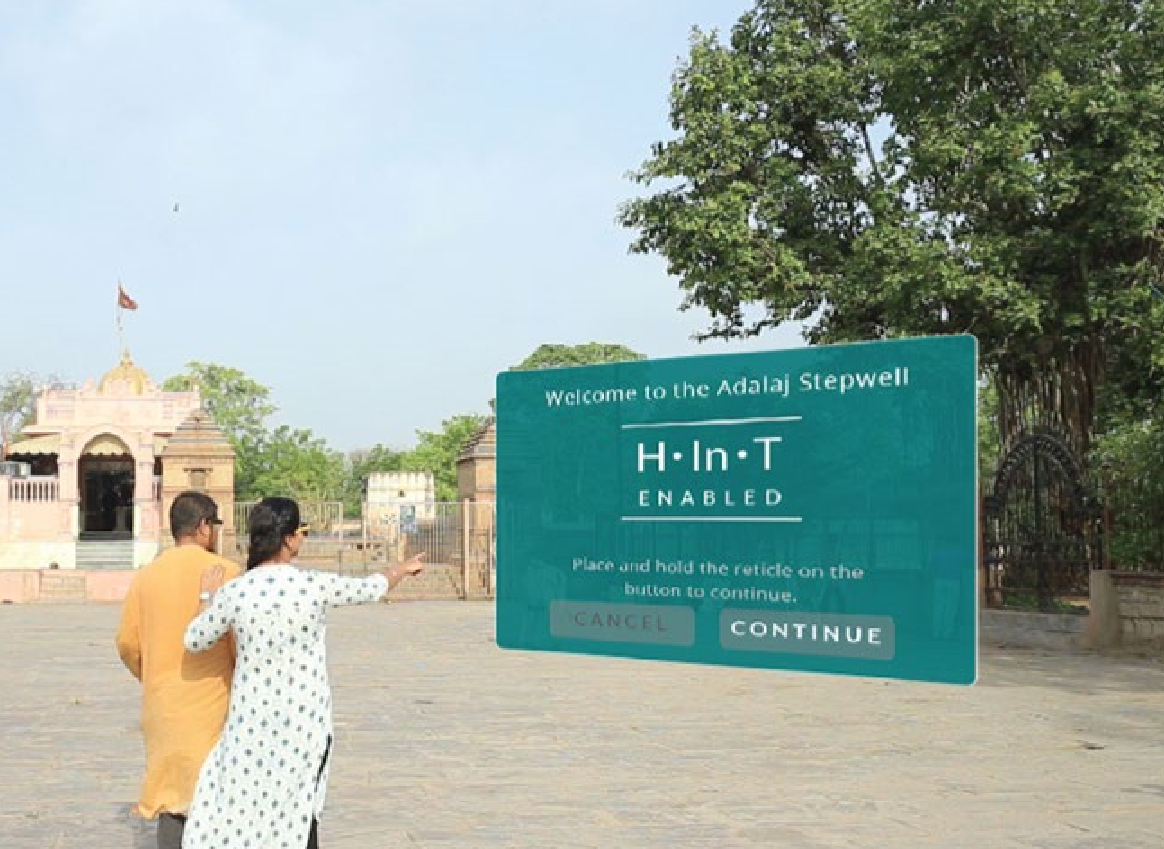
The first edition of Here In Time, built for the Adalaj Step Well in Gujarat, used Google Cardboard and Vuforia image tracking. That worked in a shaded, enclosed stepwell with controlled conditions. Qutub Minar was a different problem entirely: outdoor, unpredictable, and at a scale that made everything harder.
Phones, Not Headsets
One lesson from Adalaj was clear before we began: a VR headset had no place at Qutub Minar. Visitors navigating crowded, uneven heritage ground while wearing a head-mounted device was a practical problem, but also a conceptual one. The headset put a wall between people and the site they had come to experience.
Smartphone-based AR was the right medium: easier to distribute, no extra hardware, and far less onboarding time before someone could actually start exploring. That settled the medium. What remained was figuring out how the game would work.
Three Systems to Get Right
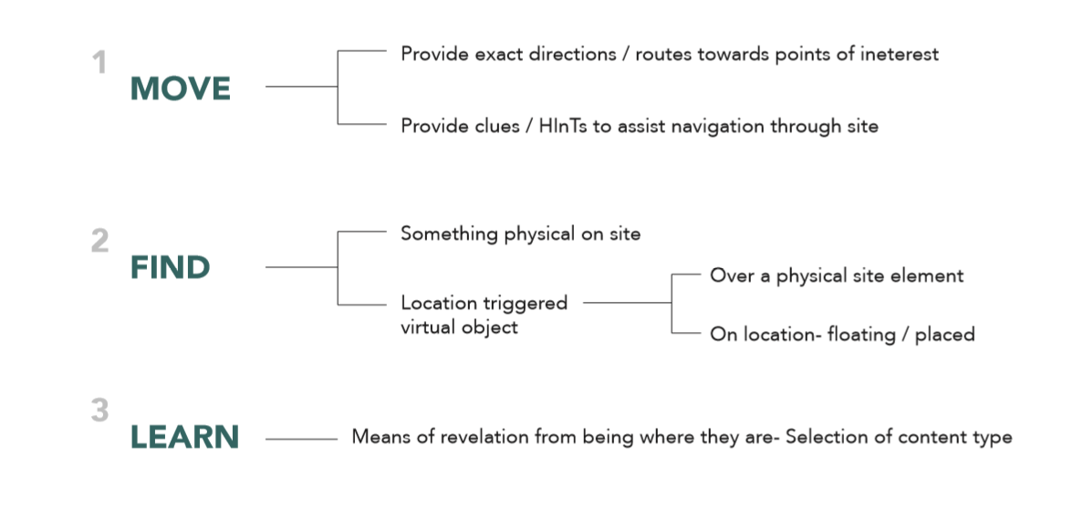
The game's core loop was simple: move to a spot, find it, solve a challenge, learn something. But building that loop meant solving three separate technical problems: navigation, detection, and revelation, each with its own round of on-site testing.
01 Move
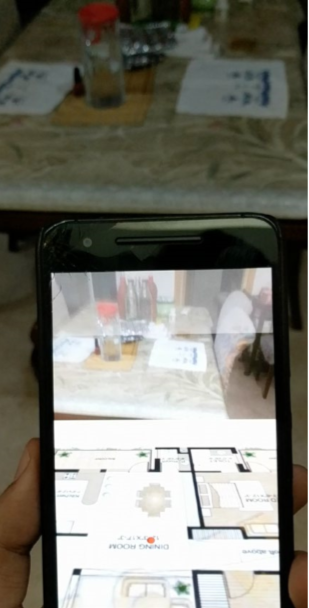
The site's scale meant visitors would need some kind of navigation assist. The first approach was SLAM, where the device builds a live map of its surroundings and tracks position within it. In testing, it didn't hold up: the map ate too much screen space, tracking was unreliable, and pre-loading all route locations gave away every destination before the game had started.
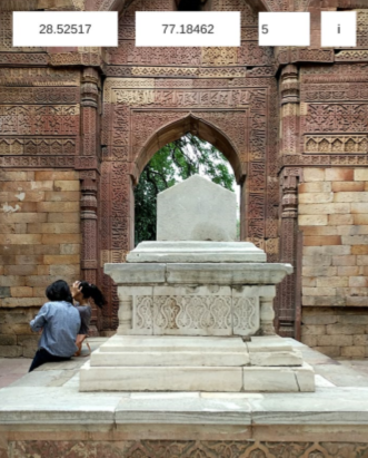
GPS was the alternative. The device knows where you are; it knows where the target is. Arriving within a set proximity triggers the next event. Under open sky at a heritage site, GPS signal was reliable enough, and it solved the layout problem cleanly. Players moved freely across the complex, and every location felt like something they had discovered.
02 Find
GPS gets a player close. But "close" isn't precise enough to anchor an AR experience. At each target location, something had to tell the device the player was in exactly the right place.
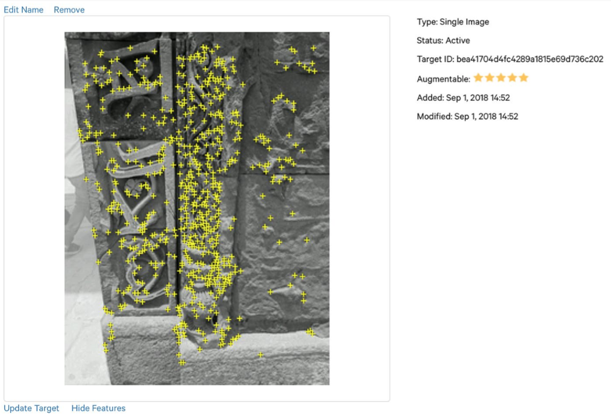
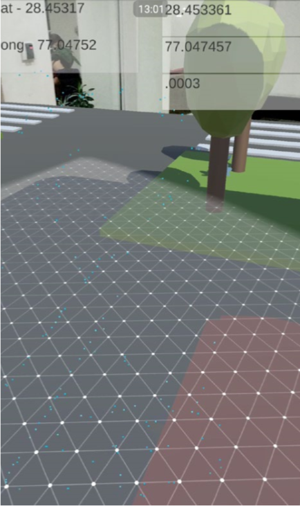
The first approach came from Adalaj: scan a specific architectural element (a motif, a carving) using Vuforia image recognition. In a controlled indoor setting, this was reliable. At Qutub Minar, where sandstone surfaces sit in direct sunlight and change appearance across the day, it wasn't. The system would fail to recognise targets it had detected perfectly in the previous session. ARCore plane detection solved this: the player scans any horizontal ground near the target, ARCore anchors a virtual object to it, and the experience opens. More forgiving, more consistent, and because the scene is only revealed on the ground scan, more surprising.
03 Learn
Navigation and detection were technical problems. The third challenge was a design one. The goal wasn't to display information about the site. It was to create a moment where a visitor understands something about Qutub Minar they couldn't have grasped without the game. Heritage sites already have plaques, guides, and pamphlets. What an AR experience can do that none of those can is make a visitor arrive at an understanding on their own, while standing in the actual place where that history happened.
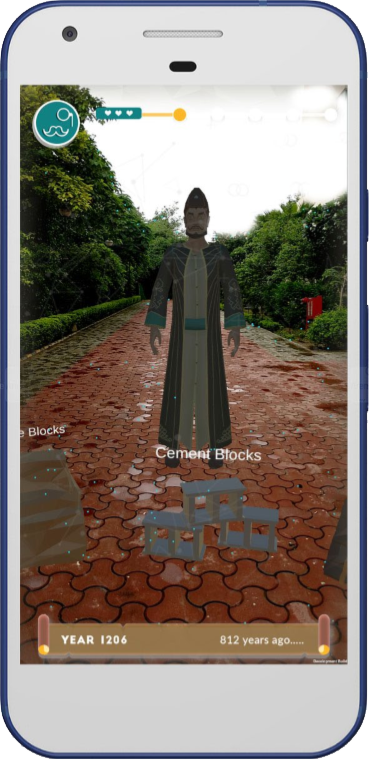
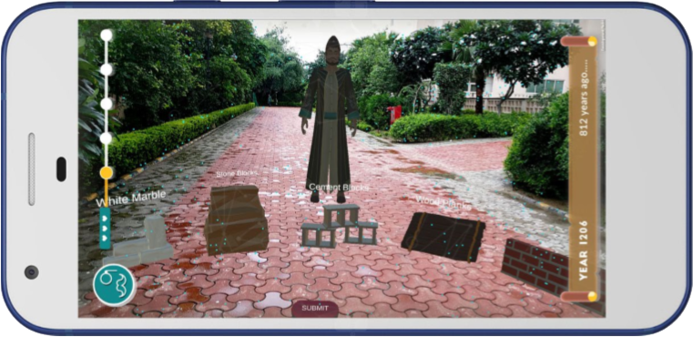
Every interactive scene was built around a question, not an answer. At each location, a historical figure poses a riddle that can only be solved by paying close attention to the architecture around you. The player has to look at the site to respond. Getting it right is satisfying precisely because they reasoned their way there. The revelation belongs to them.
The Game Loop
The full experience wraps the Move, Find, Learn mechanic into a continuous narrative, keeping cognitive load low so visitors stay present in the site rather than absorbed in the interface.
The game opens with a story prelude: Dr. Q, a friend of the player, has been pulled back into the past and can only communicate through the phone. To rescue him before time runs out, the player must follow his hints, navigate to specific spots across the complex, and complete a challenge at each location.
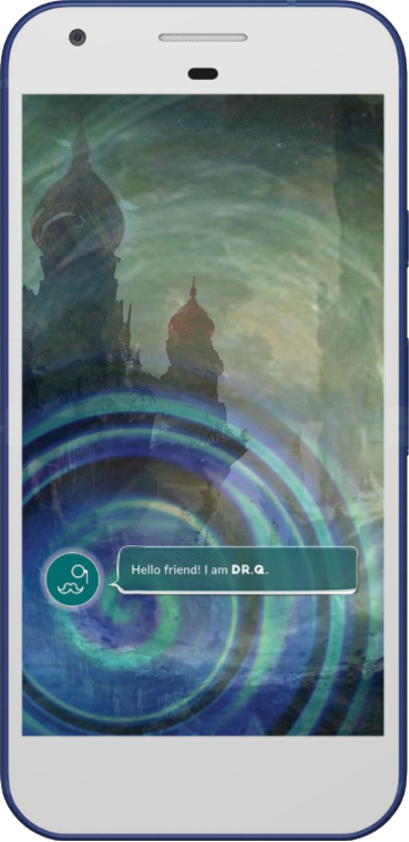
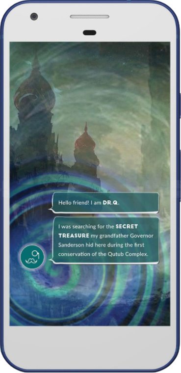
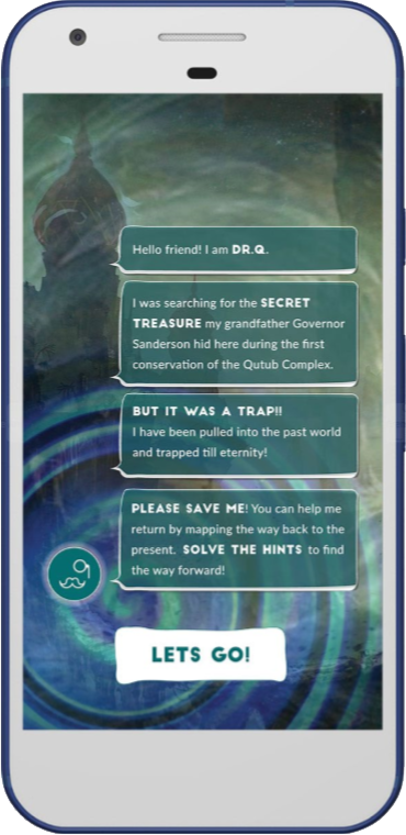
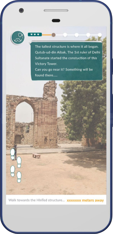
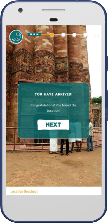
A hint from Dr. Q describes a specific element of the site. The distance counter in the UI narrows the gap between you and the target, but the direction is yours to figure out. Arriving within range triggers a confirmation and advances the progress bar.
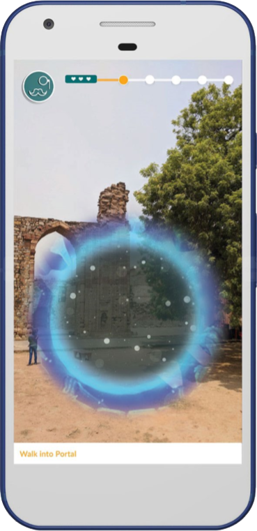
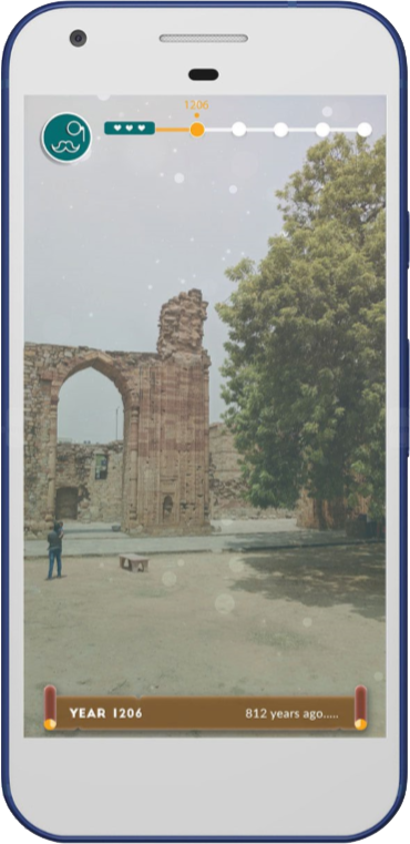
At each location, ARCore activates. The player scans a nearby surface. A portal opens, a dimensional overlap between the present site and its past, and the player steps through into a scene set in another century.
The Reward
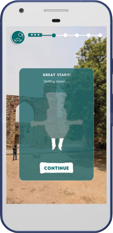
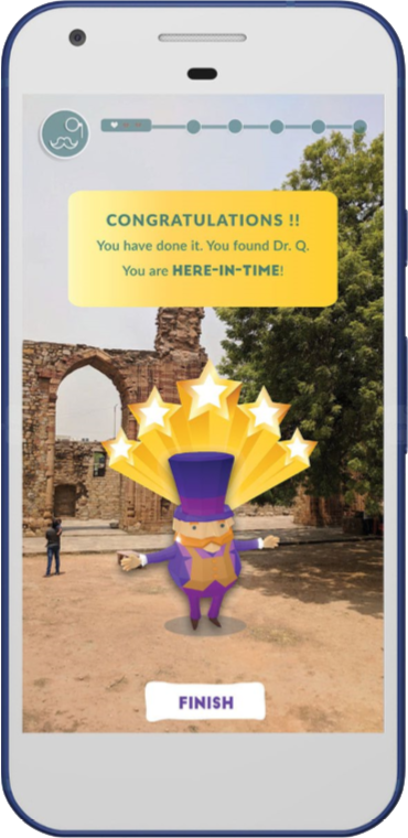
Each solved location returns the player to the present and reveals a partial figure of Dr. Q. The silhouette fills in progressively as the game advances, giving the player a reason to keep going across the full site. When the last location is solved, Dr. Q appears in full, rendered in AR, occupying the same physical space as the player at the monument.
The progressive reveal worked because the reward matched the medium. The more of the site you explored, the more of the character you uncovered. The accumulation was spatial as much as narrative.
Tested at the Monument
The build went through multiple rounds of testing at Qutub Minar: early visits to validate the GPS chain, mid-build sessions to integrate ARCore, and a final user test where participants ran the complete game loop on the actual ground. The first time the GPS chain worked, arriving at a mapped location and seeing the pop-up confirm it, was the clearest proof that a full experience could be built on top of the system.
The project was subsequently exhibited at the Eyemyth Media Arts Festival, demonstrating that a GPS + ARCore heritage game could function reliably at an uncontrolled outdoor site at this scale.


What I Carried Forward
The difference between information and revelation. Heritage sites already have information: plaques, guides, pamphlets. What an AR experience can do that nothing else can is make a visitor arrive at an understanding on their own, while standing in the actual place where that history happened. That gap, between being told and figuring out, is where the experience lives, and it's what I kept coming back to every time we redesigned a scene.